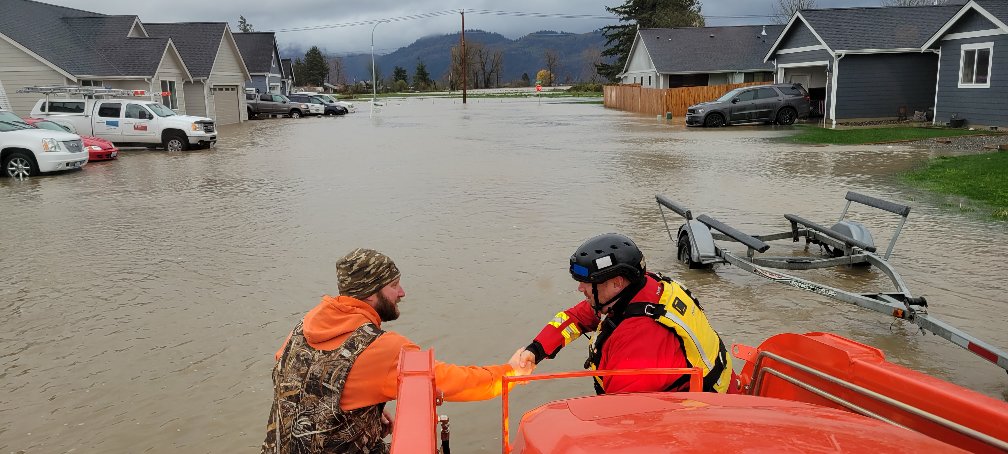
6.0 Magnitude Earthquake Strikes Eastern Afghanistan Near Pakistan Border
A significant 6.0 magnitude earthquake struck eastern Afghanistan near the Pakistan border late Sunday, according to the U.S. Geological Survey. The seismic event occurred in a region known for tectonic activity, raising concerns about potential damage and aftershocks. While initial reports are still emerging, the earthquake serves as a reminder of the region's vulnerability to seismic events and the importance of earthquake preparedness in mountainous areas.
A magnitude 6.0 earthquake struck eastern Afghanistan near the Pakistan border late Sunday, according to data from the U.S. Geological Survey. The seismic event occurred in a region that experiences frequent tectonic activity due to its location along significant fault lines.
The earthquake's epicenter was located in a mountainous region that spans the Afghanistan-Pakistan border, an area known for its complex geological structure. This region sits at the convergence of the Eurasian and Indian tectonic plates, making it particularly prone to seismic activity. The USGS continuously monitors global earthquake activity through its advanced network of seismic stations.
Regional Seismic Context
Eastern Afghanistan and northwestern Pakistan have experienced numerous significant earthquakes throughout history. The region's topography, characterized by high mountains and deep valleys, can amplify the effects of seismic waves. The USGS provides detailed information about global earthquake activity through their monitoring systems, which help scientists understand patterns and potential risks in seismically active regions.

Monitoring and Response
International monitoring agencies like the USGS play a crucial role in detecting and analyzing earthquake activity worldwide. Their data helps local authorities and international organizations assess potential damage and coordinate response efforts. While initial magnitude readings provide important information, detailed assessments of impact typically follow as more data becomes available from local sources.
Earthquakes of this magnitude in remote mountainous regions can present particular challenges for emergency response due to difficult terrain and limited infrastructure. The international community often monitors such events closely, ready to provide assistance if needed and if local authorities request support.