Tropical Storm Priscilla Forms Off Mexico's Pacific Coast
Tropical Storm Priscilla has formed in the Pacific Ocean off Mexico's southwestern coast, according to the National Hurricane Center. The large tropical storm features winds extending up to 140 miles from its center and is currently moving northwest at 7 mph. Authorities have issued tropical storm watches for coastal areas from Punta San Telmo to Punta Mita, with the storm expected to reach hurricane status on Sunday.
The Pacific Ocean off Mexico's southwestern coast has become the focal point for meteorologists as Tropical Storm Priscilla formed on Saturday, October 4, 2025. The Miami-based National Hurricane Center has been closely monitoring the storm's development and trajectory, providing critical updates to coastal communities and maritime interests in the region.
Storm Characteristics and Current Status
According to the National Hurricane Center, Priscilla is classified as a "large tropical storm" with tropical storm-force winds extending as far as 140 miles (220 kilometers) from its center. The storm's maximum sustained winds were recorded at 45 mph (75 kph), positioning it as a significant weather system requiring careful monitoring. The storm's current location places it approximately 285 miles (460 kilometers) south-southwest of Manzanillo, Mexico.
Movement and Projected Path
Tropical Storm Priscilla is currently moving toward the northwest at 7 mph (11 kph). Meteorologists project that the storm will generally move parallel to the Mexican coastline in the coming days, presenting potential challenges for coastal communities and maritime operations. The storm's trajectory suggests it will maintain its course along the southwestern Mexican coast rather than making immediate landfall.

Coastal Watches and Warnings
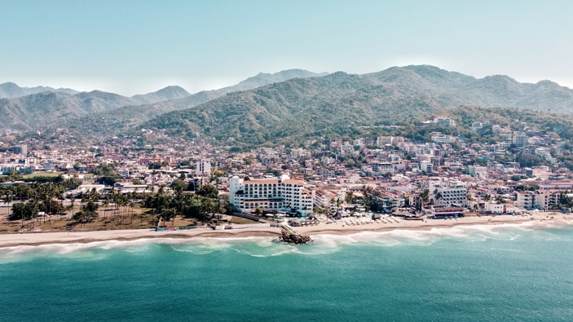
In response to the developing storm system, Mexican authorities have issued a tropical storm watch for part of the coast of southwestern Mexico, specifically from Punta San Telmo to Punta Mita. This watch indicates that tropical storm conditions are possible in the affected area during Sunday and Monday. Residents and visitors in these regions are advised to monitor the storm's progress closely and prepare for potential tropical storm conditions.
Forecast Development
The National Hurricane Center forecasts that Priscilla will reach hurricane status on Sunday, marking a significant intensification of the storm system. This projected development underscores the importance of continued monitoring and preparedness efforts along the Mexican coastline. The transition from tropical storm to hurricane status would represent a substantial increase in the storm's potential impact on coastal areas.
Regional Weather Context
Priscilla is not the only tropical system active in the Pacific region. Another tropical storm, Octave, is meandering far from shore with no landfall currently forecast. Octave has maximum sustained winds of 65 mph (100 kph), representing a stronger system than Priscilla but posing no immediate threat to coastal areas. No coastal watches or warnings are in effect for Octave at this time.
The formation of Tropical Storm Priscilla highlights the ongoing tropical weather activity in the Pacific basin during this period. Coastal communities and maritime interests should maintain awareness of developing weather systems and heed official warnings and advisories from meteorological authorities. The National Hurricane Center continues to provide regular updates on both Priscilla and Octave as these systems evolve.